
You can fly the mission. Can you prove the map?
Clients are starting to ask how accurate it is, and the number on the processing report is not an answer a surveyor will accept. The Survey School teaches drone pilots the survey side of the work, so you hand over data they can use and you can show them why.
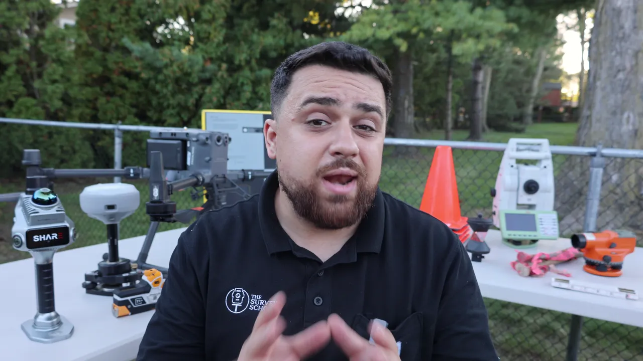
Member results in the video are their own and are not typical.
Every drone pilot who maps for money hits these.
“My checkpoint error came back too high and I do not know where it came from.”
“The client asked how accurate it is. I gave them the number from the software.”
“I do not use ground control yet. I am not sure when I have to.”
“My map sits in the wrong place next to the engineer's drawing.”
“I am not a surveyor, and I do not know where the line is.”
“I do not want to be just another drone pilot delivering pretty pictures.”
Flying is the easy part, and you already have it. What turns a flight into a deliverable is the survey side: control, coordinate systems and independent checks.
Diagnose. Adjust. Deliver.
You already know how to capture. This is the other half: how to know the capture is right, fix it when it is not, and hand over something a surveyor or engineer can check.
Diagnose
Know whether your data is right before it leaves your hands.
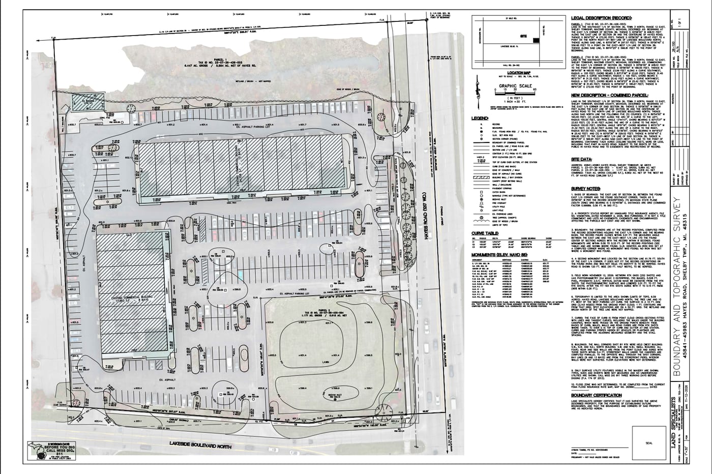
Check it against control and independent checkpoints, and learn to read what the numbers are telling you. Good and bad stop looking the same.
Control points
Tolerance σ 0.015 m
3 of 6 points over tolerance
One variable at a time
01
Diagnose
Know whether your data is right before it leaves your hands.
Check it against control and independent checkpoints, and learn to read what the numbers are telling you. Good and bad stop looking the same.
Control points
Tolerance σ 0.015 m
3 of 6 points over tolerance
02
Adjust
Fix it at the cause, not at the desk.
Datums, antenna heights, geoid models, base setup, ground control. One variable at a time, with a reason for each, so the error stops showing up.
One variable at a time
03
Deliver
Hand over a deliverable a client will pay for.
A finished topo built on checked control, with the accuracy written down, ready for the surveyor or engineer who relies on it. That is the work clients pay for.
You don't need a license to collect good data. You need to know what surveyors need from you.
Certifying a survey takes a license. Collecting accurate data does not. It takes a method you follow every time, and the habit of writing down how you know it is right.
That is what surveyors need help with. We teach you to collect data they can rely on and to work alongside them as an ally in the field. Licensed, practicing surveyors are instructors and members here, and they answer questions in the community every day.
Wins from the community.
Posted by members in the community, in their own words.
 Mark NielsenApril 2025
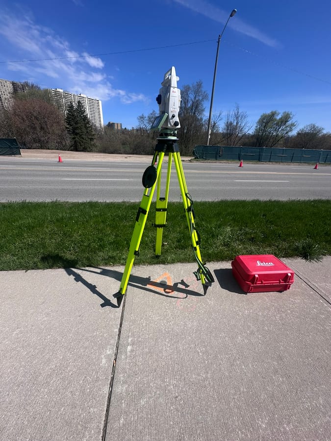
Summer student on a 1.2 km bridge
“The project is a 1.2 km-long elevated bridge for a transit project. I was asked to give the surveyor a hand. He didn't expect much... He didn't know I'm also a survey school student here, and the information I've gained here is paying off well.”
 Michael LilleyDecember 2025
Work through 2028
“After we got done he asked if I had my drone, of course I did... I said okay, he said good, because you're flying for us. Job doesn't start until April of 27, it's a design/build and the architect want a rough idea of where everything is and a close topo.”
 Brook StocktonOctober 2026
My first resection
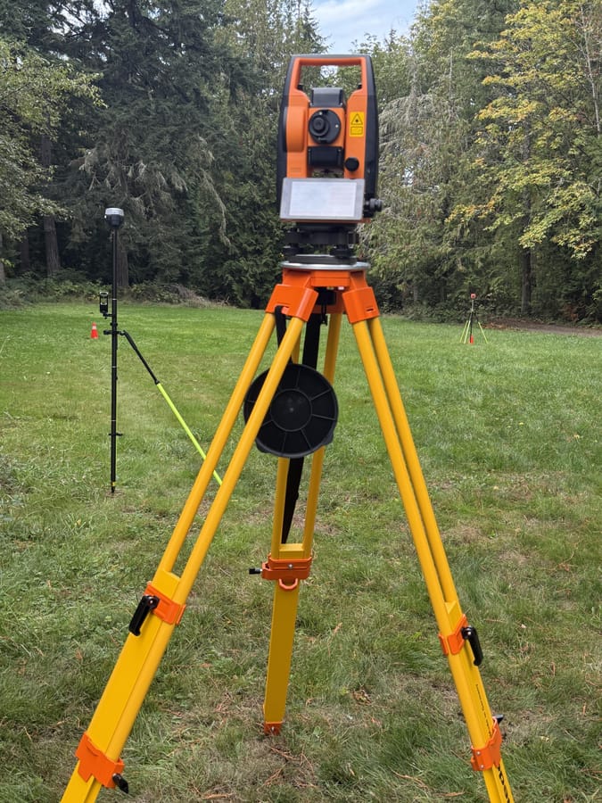
“I've never used a total station until today. Did my first resection with the A100. I used two RTK control points for the resection and held a third RTK point out as an independent check.”
 James SnelsonMay 2026
New job
“I was recently hired and started with a local water/waste water/civil engineering firm. It is quite the stretch for me being a mechanical engineer but I'm really enjoying it so far.”
 Andrew WalkerJuly 2025
My first plat
“I just finished my first PLAT from start to finish!! It had to be signed by my boss of course, but it was a very enlightening experience to see just how much work it takes to make one property into two.”
 Thomas EschJune 2026
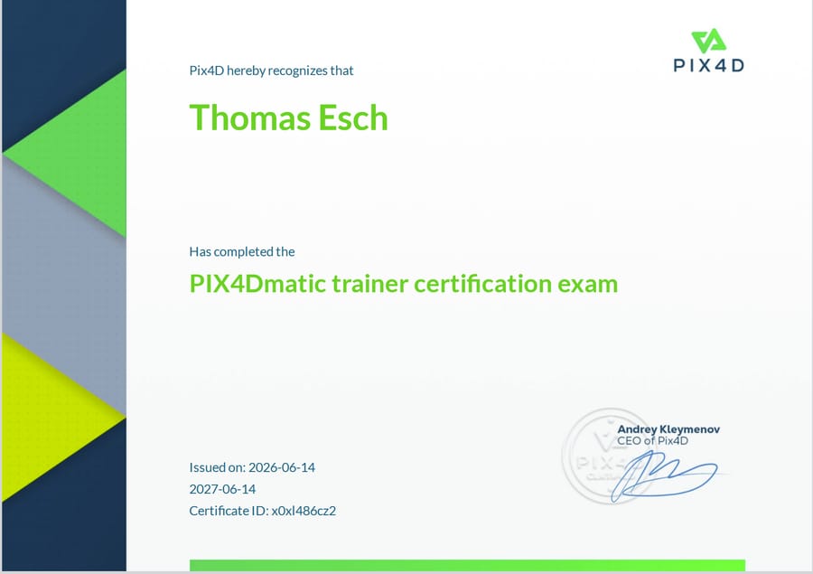
Pix4Dmatic Trainer Certification
“Completed the coursework and training and passed the Pix4Dmatic Trainer Certification exam... My son, James, also passed the Trainer Certification exam yesterday.”
 J BaeJuly 2025
From carpenter to BIM field specialist
“I've created an incredible opportunity with a general contractor to handle layout using a total station and collaborate with their BIM team.”
 Todd K CollinsMay 2026
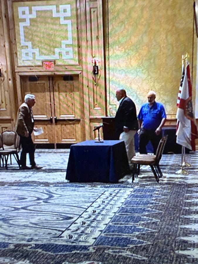
Speaking to Florida's property appraisers
“I had the opportunity to attend the Florida State Property Appraisers Annual Conference and... was able to speak to... Property Appraisers from Florida about the benefit of using drones to conduct flight missions and collect current data on properties.”
 Joseph EdwardsMarch 2025
Back to surveying
“Good news! I just got hired by a surveying firm and start on Monday.”
 Alan SwensonMarch 2025
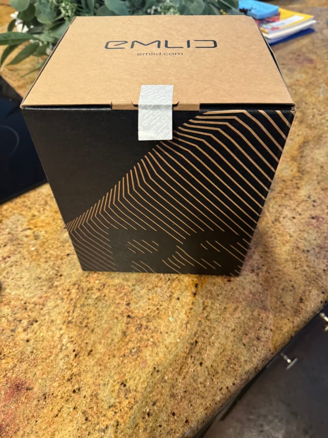
Earned an Emlid Reach RS2+
“Thanks Rami Tamimi and everyone at The Survey School who helped me get to level 7 to be lucky enough to earn this RS2+. I can't wait to put it to use.”
 Hugh TullApril 2025
Accepted into Advanced Geomatics
“I just got accepted into BCIT's Advanced Geomatics program! Here's the cool part: instead of the full 2-year program, I'll be jumping straight into 2nd year... Feels like a natural progression after all we've been learning here in the Survey School community.”
 Peter MorssinkJune 2026
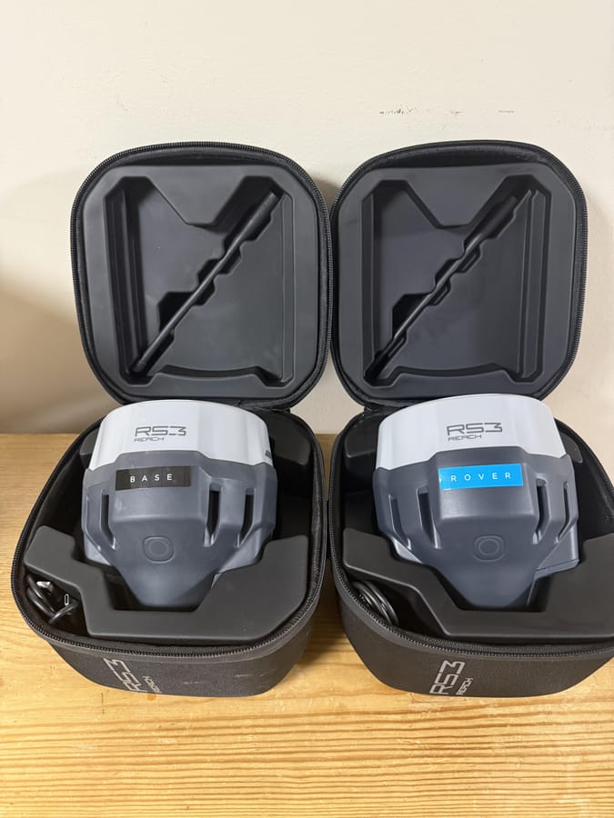
A full set
“I received my RS3 and now I have a full set simplifying my workflow.”
 Al SpinaMarch 2025
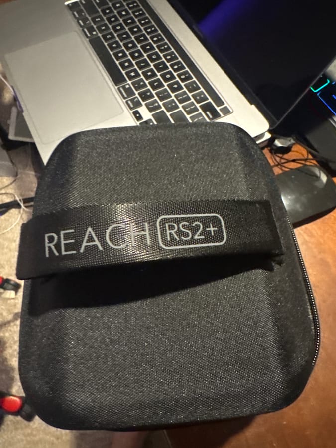
Growing in a new field
“Thank you all for helping me grow in this new field and being a part of a great community! I received this wonderful tool today that will certainly help me grow and become more marketable.”
Each result is the member's own and is not typical.
What members say
Meet your instructors.
Two are licensed surveyors, and all four have done this work for a living. They show you what they look for in work like yours and how to get it right the first time.
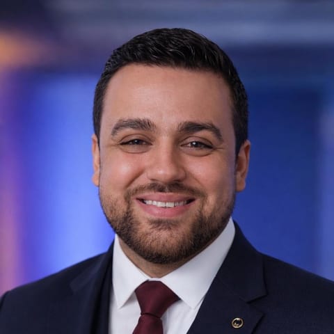
Rami Tamimi, P.S.
Professional Surveyor · PhD Candidate, Geodetic Engineering, OSU · Founder
Over a decade of land development experience, plus three years tuning sensor alignment for self-driving systems. Teaches drones, LiDAR and photogrammetry, and the survey fundamentals that make them accurate.
Joe Nelson, PLS
Licensed Professional Land Surveyor
Project Manager at BKF Engineers with 14 years of professional surveying. Teaches how survey work gets done on real projects: boundary, topo, ALTA, control networks, and final maps ready for stamp.
Dr. Joseph Kerski, PhD GISP
PhD Geography · GISP · Author of 12 books · Former Esri Education Manager
Geographer and GIS educator with three degrees in geography and 22 years across NOAA, Census, and USGS. Teaches GIS and spatial analysis.
Barry Bassnett
Cartography and photogrammetry · 45 years
Forty-five years in cartography and photogrammetry: aerial, close range and underwater.
Also on the team: Dr. Ryan Hughes (Pix4D, head of training) and Mariana (Emlid, technical support).
Who this is for.
It fits if
- You hold a Part 107, or fly commercially where you are, and want to offer mapping that holds up.
- You have a few clients and want better ones: engineers, surveyors, construction.
- You fly for a company and you are the one answering for the data.
It is not for you if
- You want a pretty model and do not care whether there is survey control behind it.
- You want to sign boundary or legal surveys. That takes a license, and this is not a path to one.
One membership. Pay monthly or yearly.
Monthly
$249a month
- Every course, one opening every 30 days
- The weekly live lecture and Q&A
- The community, with licensed surveyors answering
Yearly
$1,988a year
- Everything in monthly
- Pix4Dmatic Pro, an Emlid Reach GNSS receiver, Emlid Flow Pro and GEODNET corrections, unlocked as you reach higher levels in the community
You join on Skool, where the plan details and the levels are shown before you pay.