Registration is open — free · live on YouTubeJuly 20 · 10 AM – 2 PM ET

Live on YouTube · July 20 · 10 AM – 2 PM ET

The best surveying research of the year — live, in one day.

Eight surveyors present original research live on YouTube — free to watch from anywhere, with a certificate of attendance for your CE or training just for showing up. One presenter wins a fully-paid trip to Intergeo 2026 in Munich, and the day closes with a big announcement.

  • 100% free
  • No account needed
  • Certificate of attendance
  • Watch from anywhere
2nd
annual

Real research, presented live by the people who did the work — the same format that filled the room last year. Curious what the day feels like? Watch the full 2025 session →

The symposium

A virtual stage for the people
actually doing the work.

01The format

Live, virtual, free

One live day on July 20. Watch real researchers present from wherever you are, ask questions in the chat, and register free to earn a certificate of attendance for your CE or training.

02The audience

Open to everyone

Not just Survey School members. Surveyors, engineers, drone pilots, GIS folks, students — if you care about how high-accuracy mapping actually works, this is your room.

03The finale

A champion + a reveal

This year’s research champion is judged after the event and announced afterward — and the live finale is where The Survey School drops a big announcement. First to know: the people in the room.

This year's presenters

Eight confirmed. More to come.

Selected from this year's abstract submissions: GNSS control methods, geodesy, total-station accuracy, InSAR deformation monitoring, digital twins, workflow automation, and reality capture — presented by the people who did the work.

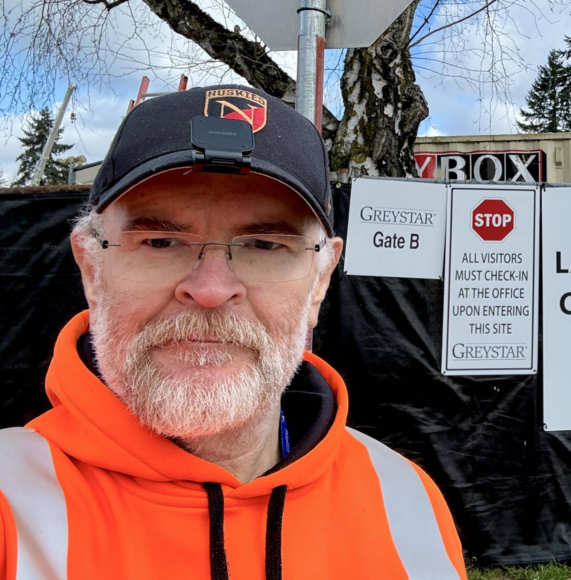
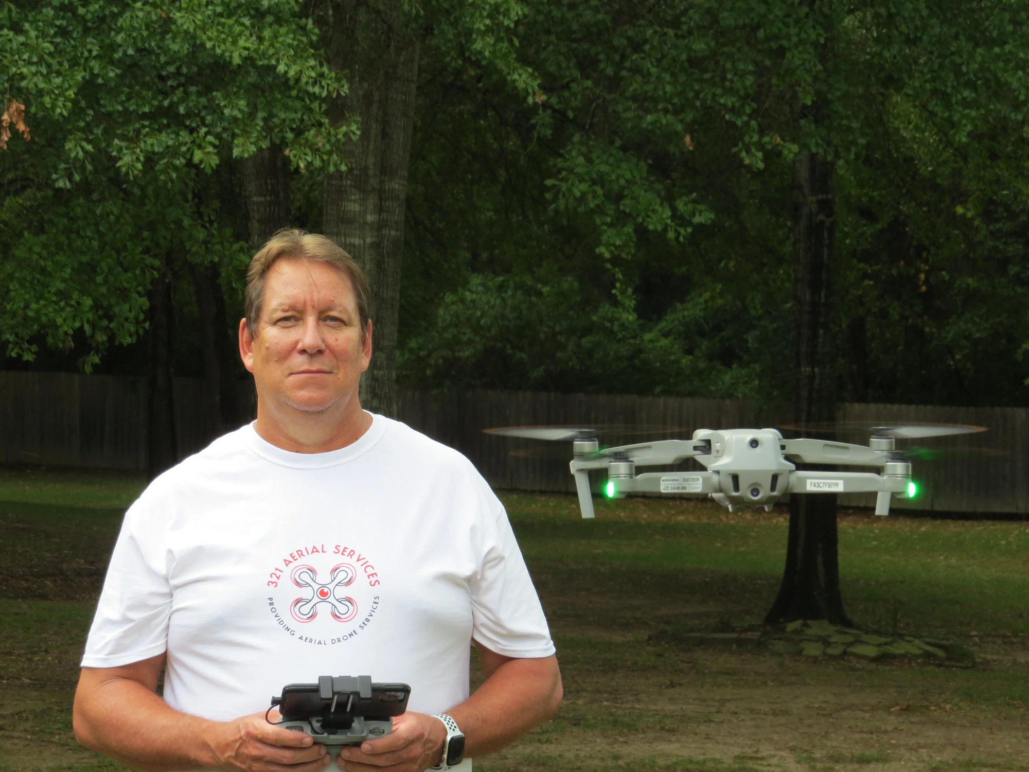
Alan Swenson

Alan Swenson

Founder, 321 Aerial Services · FAA Part 107 · USAF veteran

Static GNSS Measurements vs. RTK: Evaluating Accuracy and Time Trade-Offs for Drone Survey Control

Abstract & bio

Quantifying the differences in accuracy and efficiency between RTK and rapid-static GNSS measurement methods for establishing drone survey control — what you gain, what you give up, and when each method earns its place in the workflow.

About Alan: Alan served in the United States Air Force (1983–86) and retired from the U.S. Postal Service after 34 years — 25 of them as a Postmaster. He earned his Part 107 in September 2021, has flown drones commercially for about five years, and founded 321 Aerial Services in August 2022 with a focus on aerial mapping. He has been a Survey School member since July 2024.

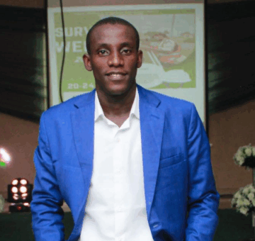
Israel Timileyin Adedeji

Israel Timileyin Adedeji

Surveying & Geoinformatics, FUTA · BIP Geomatics · Young Surveyors Network Nigeria

Assessment of Global Geopotential Models for Ellipsoidal Height Derivation from Copernicus GLO-30 DEM Using GPS Control Points

Abstract & bio

How high is the land beneath your feet? It's the question behind almost everything we build — roads, drainage, flood defences — yet measuring it has always meant slow, expensive fieldwork, and across much of Nigeria reliable reference data barely exists. This presentation pairs the free Copernicus GLO-30 elevation model with global Earth-gravity models to derive accurate ground heights, then puts the results to the test against 69 real GPS control points: which model comes out on top, how accurate the approach genuinely is, and which everyday survey and mapping tasks it's ready for right now — a practical case for turning free data into heights you can put to work.

About Israel: Israel is a final-year student of Surveying and Geoinformatics at the Federal University of Technology, Akure (FUTA), Ondo State, Nigeria, technical personnel at BIP Geomatics Consulting Limited, and a member of the Young Surveyors Network, Nigeria. Beyond the technical work, he's focused on raising the visibility of surveying as a discipline and showing young people it's a viable, exciting career path.

Paul Tomilola Elufisan

Paul Tomilola Elufisan

Lecturer, Surveying & Geoinformatics, Obafemi Awolowo University · PhD researcher, Geodesy & Geospatial Science

AI-Integrated InSAR and GNSS Framework for Predicting Climate-Induced Land Deformation Affecting Critical Infrastructure in Coastal Nigeria

Abstract & bio

An integrated geospatial framework using SBAS-InSAR, GNSS, climate data, and AI models to monitor and forecast land deformation in coastal Nigeria, with Lagos as a case study. The research shows how combining Earth observation and machine learning can support infrastructure resilience, sustainable urban planning, and disaster risk management in climate-vulnerable coastal regions.

About Paul: Paul is a lecturer in Surveying and Geoinformatics at Obafemi Awolowo University, Nigeria, and a PhD researcher in geodesy and geospatial science. His work focuses on integrating GNSS, InSAR, remote sensing, and AI for environmental monitoring, land deformation, and climate resilience in coastal areas.

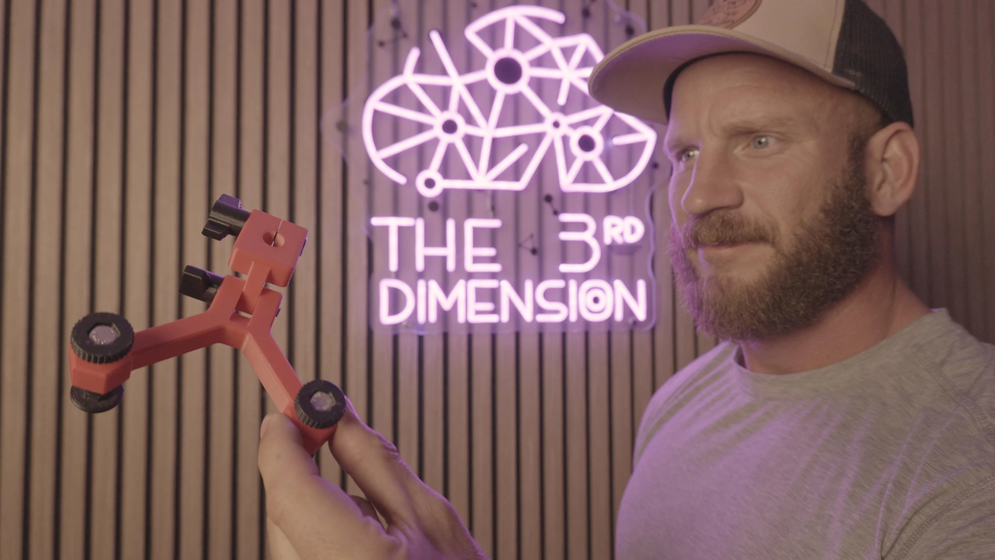
Shea Gleadle

Shea Gleadle

Creator, The 3rd Dimension · 19 years in surveying

How to Increase Total Station Vertical Accuracy with the Common Point Method

Abstract & bio

How and why to use common-point observations in a traverse — paired with a post-processing method Shea developed — to push vertical accuracy beyond what's otherwise achievable, all other things being equal. Building on his widely discussed video on the method, this talk answers the counterpoints raised in the comments, shows the benefits to horizontal accuracy and reliability as well, and (time permitting) digs into deflection of the vertical: how much error it introduces when ignored in a true three-dimensional least-squares adjustment. Spoiler — a lot.

About Shea: Shea is the creator of The 3rd Dimension YouTube channel and has spent about 19 years in the surveying industry.

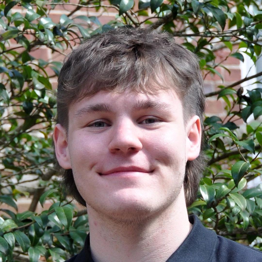
Rustin Newbold

Rustin Newbold

Salisbury University · 2026 Goldwater Scholar · FAA Part 107

Inside Out: Building a Scalable Digital Twin Workflow with Drones & 360° Cameras

Abstract & bio

A digital-twin workflow proving that accurate indoor–outdoor 3D reconstruction is possible without LiDAR or enterprise software — built on consumer hardware, free and open-source tools, and two solutions Rustin developed and plans to release to the community: Argus, a multi-height 360° capture rig, and Hera, a desktop app that converts 360° video into SfM-ready imagery.

About Rustin: Rustin is a Salisbury University geography undergraduate (meteorology and GIScience) with minors in mathematics and quantitative analysis, a 2026 Goldwater Scholar, and a Part 107 remote pilot. He leads the SU Digital Twin Initiative — engineering scalable indoor–outdoor 3D reconstruction and Gaussian-splatting workflows with accessible tools — and founded Rusty's Creation Lab, delivering independent fabrication and geospatial services.

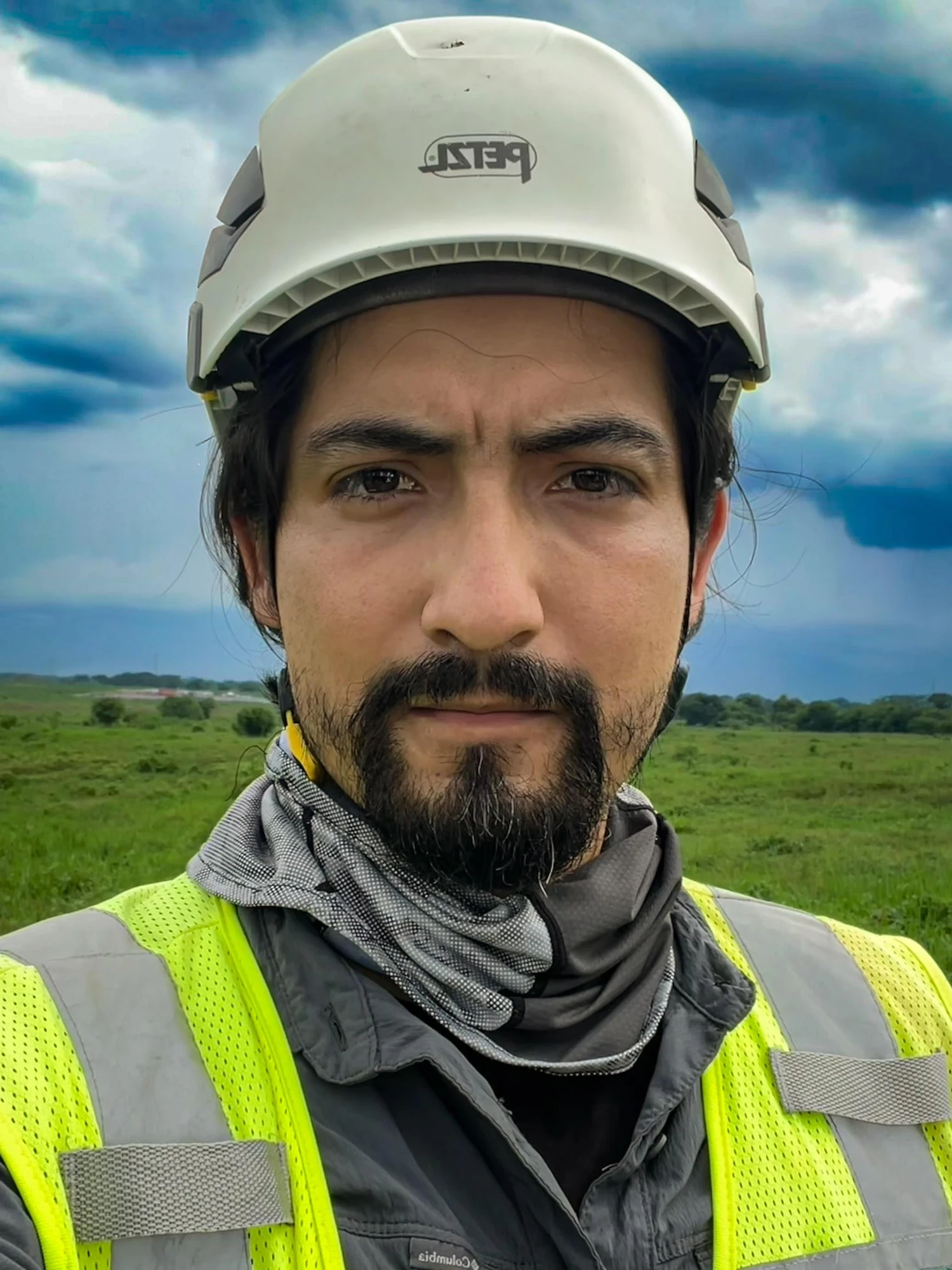
Gamaliel Flores Ortiz

Gamaliel Flores Ortiz

Founder, Geociencias VORTEX de Latinoamérica · Mexico

VORTEX Toolkit: A Modular Framework for Simplifying, Standardizing and Automating Geospatial Office Workflows

Abstract & bio

Surveyors are collecting more data than ever, but deliverables still take too long. VORTEX Toolkit is a modular geospatial automation system built around workflows Gamaliel already uses or is actively testing: stockpile volume reporting, automated road sections and longitudinal profiles from point clouds, assisted point-cloud-to-CAD geometry, rail geometry QC, tank inspection support, solar farm layout validation, QA/QC graphics, and construction progress tracking. Give it geospatial data, project rules, or technical references, and its algorithms process them into useful deliverables. The goal is supervised automation: faster production, standardized outputs, and traceable results — without removing professional judgment from the process.

About Gamaliel: Gamaliel is a surveying and geospatial specialist from Mexico whose project work spans civil infrastructure, industrial facilities, solar and wind parks, substations, railways, mines, airports, and water and oil & gas infrastructure across Mexico and Latin America. His toolkit combines field surveying, GNSS, total stations, terrestrial and aerial LiDAR, drone photogrammetry, CAD/BIM workflows, Dynamo, and Python — with a current focus on custom algorithms that turn field data, point clouds, and technical records into traceable, client-ready deliverables.

Brook Stockton

Brook Stockton

Founder, CoveGEO · U.S. Navy veteran

Adding Terrestrial Scanning to a Small Geospatial Company

Abstract & bio

The practical considerations of adding terrestrial scanning capability to a small geospatial company, comparing mobile photogrammetry with PIX4Dcatch against handheld LiDAR scanning with the SHARE S20. The comparison focuses on what actually matters when selecting and implementing a system — capture range, field efficiency, imagery, processing, quality assurance, workflow integration, and final deliverables. The goal isn't to name a single best technology, but to understand where each approach fits and how small operators can make informed equipment and workflow decisions.

About Brook: Brook began his geospatial career as a U.S. Navy Navigation Electronics Technician aboard fast-attack submarines in the Pacific and Arctic, specializing in GPS and inertial navigation and qualifying as a Diving Officer — career highlights include navigating beneath the ice canopy and shallow ice keels of the Bering Sea. After the service he worked with GIS and RF planning systems in telecommunications, then held senior leadership roles delivering large operations-support-system deployments in the U.S. and Europe. In 2020 he founded CoveGEO to pursue geospatial reality capture, 3D modeling, mapping, and site documentation, and he's an active Survey School member.

Rose Ginya

Rose Ginya

Professional Land Surveyor · Founder, Property Advisory · Associate Board Member, SAIBD · South Africa

Building Advocates of the Geomatics Profession: Exploring Communication of the Geomatics Value Proposition as a Professional Competency

Abstract & bio

This paper explores whether communication of the geomatics profession's value proposition is being developed and assessed as a core professional competency. While surveying education rightly emphasises technical knowledge and skills, the ability to explain why the profession matters to clients, decision-makers, and the public receives far less attention. Drawing on curriculum reviews and stakeholder perspectives, the study examines whether graduates are adequately prepared to communicate the relevance and impact of the profession beyond technical practice. The paper argues that strengthening this competency can improve public understanding, enhance professional advocacy, and ultimately contribute to better recognition and utilisation of the geomatics profession.

About Rose: Rose is a registered Professional Land Surveyor based in South Africa and the founder of Property Advisory, a firm that helps property buyers and investors make informed decisions through technical property due diligence and advisory services. Built on more than a decade of experience in land surveying, her work reflects a strong belief that sound project decisions begin with accurate land information. She serves as an Associate Board Member of the South African Institute of Building Design (SAIBD), an architectural voluntary association, where she contributes to industry-level decision-making and professional development — with the aim of embedding the relevance of land surveying within the broader built environment. Through workshops with built-environment professionals and across radio and digital platforms, she works to simplify land and property concepts and highlight the role of surveying in informed decision-making, using education as a tool for professional advocacy that makes surveying knowledge more accessible, practical, and widely understood.

More presenters to be announced

The lineup is still growing. Register free and each new presenter announcement lands in your inbox first.

Last year's symposium

See how the day runs.

The full 2025 Survey Research Symposium recording — every applicant's presentation, the judges' feedback, and the live winner announcement.

Path to the stage

The road to July 20.

  1. 1
    Jun 25

    Abstracts closed ✓

    The field is set — submissions reviewed and decided.

  2. 2
    Jun 26

    Presenters selected ✓

    Acceptance emails went out. The lineup is locked.

  3. 3
    Jun 30 + Jul 2

    Presenter training ✓

    Every presenter coached on framing + slides. July 20 will be sharp.

  4. 4
    Jul 17

    Final presentations due

    Camera-ready slides + recorded run-through.

  5. 5
    Jul 20

    Symposium · live · 10 AM – 2 PM ET

    Four hours of live presentations, streamed on YouTube. Judging happens after the event and the winner is announced afterward; the big reveal closes the day.

How to attend

Thirty seconds now.
A front-row seat on July 20.

  1. 1

    Register free — name + email.

    Takes thirty seconds. You get an instant confirmation with an add-to-calendar link and the stream link, plus reminders as the day approaches — and your certificate of attendance follows by email after the event.

  2. 2

    Tap “Notify me” on YouTube.

    Right after you register we send you to the live stream — one tap and YouTube reminds you when we go live. It’s right here if you want it now. No account required to watch.

  3. 3

    Show up live — July 20, 10 AM – 2 PM ET.

    Four hours: every presentation and live Q&A in the chat. Judging happens after the event, and the winner is announced afterward.

  4. 4

    Stay for the finale.

    We close the day with the announcement we’ve been building toward all year — the reveal the live audience hears first.

Intergeo 2026 — September 15–17, Munich
Messe Munich · Sept 15–17, 2026
18,500+ visitors · 530+ exhibitors · 119 countries
Oh — and it's a competition

The champion flies to Munich, on us.

Every presentation is judged after the competition, and the winning researcher earns a fully-funded trip to Intergeo 2026 — the world's leading geospatial expo. We announce the winner once judging wraps.

  • Round-trip economy flight to Munich, Germany
  • Hotel for the conference dates (Sept 15–17, 2026)
  • Full Intergeo trade-fair conference badge
  • Featured spot on The Survey School YouTube channel
  • Direct intros to the partner sponsors at the show

Meals and ground transport not included. Travel coordinated with the winner after announcement.

Questions

Before you register.

Is it really free to attend?+
Yes — completely free, no membership required. Register with your name and email and your join link arrives in your inbox before the event.
When and where is it?+
July 20, from 10 AM to 2 PM Eastern, streamed live on YouTube — watch from a laptop or phone anywhere in the world, nothing to install. The stream is already scheduled, so you can set a reminder on YouTube now; registered attendees also get the link and reminders by email.
What will I actually see?+
The confirmed presenters — with more being announced — cover GNSS control methods, geopotential models and heights, total-station accuracy techniques, digital twins from drones and 360° cameras, geospatial workflow automation, and terrestrial scanning for small firms. Every project is presented live by the person who did the work, with live Q&A. Presentations are judged after the event and the winner is announced afterward.
Do I get anything for attending?+
Yes — register and attend, and you'll receive a certificate of attendance you can put toward your continuing education or professional training. It's emailed after the event; how it counts toward CE is up to your licensing board or employer.
What does the winner get?+
A fully-paid trip to Intergeo 2026 in Munich (Sept 15–17): round-trip flight, hotel for the conference dates, and a trade-fair badge — the same prize last year's winner used to present on the Intergeo stage in Frankfurt.
What's the big announcement?+
You'll have to be there. All we'll say: it's the biggest thing we've done at The Survey School so far, and the people watching live hear it first, at the end of the symposium.
Can I still submit my research?+
Abstracts for 2026 closed June 25 and the presenter lineup is locked. Come watch this year — the 2027 call for abstracts opens to everyone, and attending is the best way to see what a winning presentation looks like.
Live on YouTube · free · July 20 · 10 AM – 2 PM ET

The research is presented live.
The winner is announced after.

Thirty seconds to register. A front-row seat to the best surveying research of the year — and you'll be first to hear what we've been building.

Free · July 20 · Live on YouTube